North Coast 500 part 1, embarking on a scenic road trip through Scotland's northern landscapes.
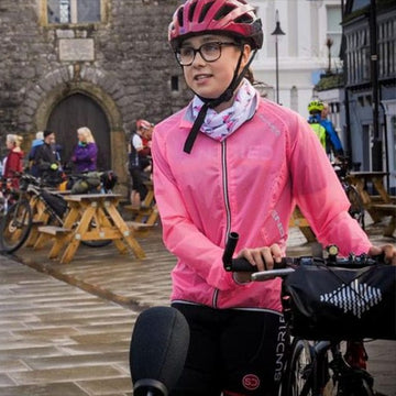
Alpkiteer Ian Palmer and his wife Katie went on a trip around the North Coast 500 this summer. This is the first part of their adventure on the East Coast, written by Katie Palmer.
With ‘staycationing’ the safest option for a summer getaway this year, we decided to base our trip around the North Coast 500, a circular route hugging the coastline of Northern mainland Scotland. Starting and finishing in Inverness, it takes in some of the most awe-inspiring gems of this wild and rugged part of the UK.
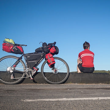
But would it be a tranquil escape or an over-crowded tourist hotspot? We packed up the van with enough kit for 2 weeks of adventures and set off to find out.
The East Coast
We drove from the Lake District up to Aviemore and stayed for a night by the shores of Loch Morlich. It reminded me of summer holidays as a kid; not just the beach and the Canadian-looking landscape, but also the drizzle and the midges (insect repellent is a must).

The Cairngorms National Park is an amazing place and although it’s not on the official route, in my opinion it’s always worth a stop off for at least a day or two. There are loads of opportunities to MTB, camp, run, ski, kayak and walk.
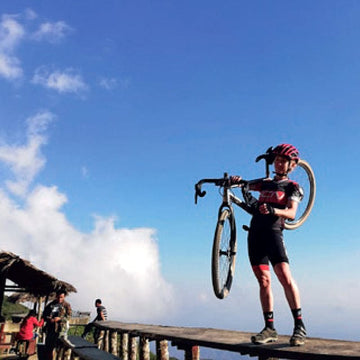
We spent the morning running one of our favourite routes; up past Glenmore Lodge to Ryvoan bothy, up again and left over 3 peaks before descending at Craiggowrie and returning along the forest floor.
The official start of the NC500 is at Inverness castle, but we decided we weren’t going to follow it exactly and would take detours to interesting and (if it proved too touristy), quieter places.
Our first port of call was Fortrose on the Black Isle, famous for its pods of dolphins, which can regularly be spotted off Chanonry Point. As we made our way to Rosemarkie Bay we were greeted by the eerie sight of 20-30 people, stood silently on the rocks, staring at the water. It felt like the scene from Close Encounters of the Third Kind as they waited for beings from another world to visit. We joined them and waited and waited and.nothing. We went to bed disappointed and were about to leave the next morning when we decided to give it one more try.
Again, we waited and were just about to leave when we heard gasps from the onlookers and saw a dorsal fin pop up. Then another and another until there were so many, you didn’t know where to look. It was a magical experience to see so many, often just a few metres away.
After a quick stop for an MTB at the Learnie Red Rocks trails (short routes, mostly gentle but with a super-techy black loop), we headed North.

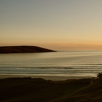
Our bed for the night was at Brora campsite, nestled in the dunes behind a spectacular beach and a uniquely Scottish golf course complete with wandering Highland cattle! In the morning, we got out for a beach run, passing seals bobbing in the water, shags sat majestically on the rocks, swooping Arctic Terns and even a Highland calf paddling in the shallows!

Leaving Brora, our next stop was the Whaligoe Steps. Easily missed as you drive past (look out for a phone box in between the hamlets of Bruan and Ulbster just South of Wick and turn right), it’s well worth the hassle of finding a parking place. Descend the 330 stone steps carved into the cliff face, and you’ll find an ancient harbour surrounded on 3 sides by towering 250ft cliffs. From here, you can sit amongst the wild flowers, watching the waves crash onto the rocks to a soundtrack of echoing seabird calls. It’s really quite special.

Heading even further North, the plan was to have a quick visit to John O’Groats (tacky and touristy but it would have been rude not to at least see the famous sign as we passed) then stay the night by the Dunnet Head lighthouse (the actual most Northerly point of mainland Britain and home to colonies of puffins).

Impressive as it was, the 57mph winds meant camping up there wasn’t an option so we headed off the point to a beautiful cove at nearby Brough. Hunkering down there for the night, we shared the vista with a pair of young seals and a huge ‘Goonies’ style rock which sheltered the harbour from the worst of the storm.
You can watch the first part of Ian's adventure on his YouTube.
The North Coast
The next morning we started heading West. Other than John O’Groats, we were yet to see much evidence of the over-crowding issues that the NC500 has supposedly created. However, within the first few minutes, we drove past a campsite next to the large sandy beach at Dunnet Bay and were shocked to see the site completely full with vast numbers of white motorhomes lined up in neat rows.
Not that I blame anyone for wanting to stay in such a great location – Dunnet Bay boasts a sheltered, 2 mile arc of white sandy beach with a reef break which makes for reliable year-round surfing. It was just that after a few days of driving along quiet roads and camping in relatively remote locations, it jarred a little to be suddenly in the midst of the summer holiday beach brigade.

This pattern continued every time we passed an easily accessible sandy beach and the North Coast is bursting with them. If this part of the world enjoyed more settled weather, I’d imagine these coves would look like Cornwall in August. That said, this really is a surfer’s paradise and if you can cope with the chill factor, you’ll be spoiled for choice; from the big hitters like Thurso East to Farr Beach at Bettyhills, to tiny, blink-and-you’ll-miss-them coves that we only discovered because we took the dog for a walk.
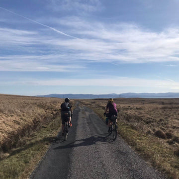
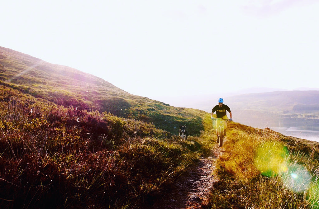
As we drove further West, you could see the hills forming and the landscape becoming more rugged. Again, we chose to exit the official NC500 route in search of somewhere quieter to camp for the night.

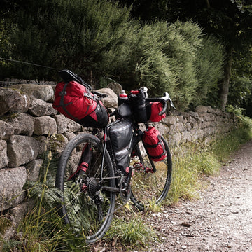
After crossing the slipway at Tongue, we headed North along a single-track road and came across the beautiful Talmine, which proved to be such a great antidote to the packed-full campsites that we ended up staying 3 nights. We had a few walks, runs and bike rides around the dramatic coastal path overlooking the Rabbit Islands.
Tearing ourselves away from Talmine (we really needed a drive to charge up the fridge), we headed West to Durness. It’s an interesting spot with an award-winning beach (Sango Bay), an array of WW2 bunkers and Smoo Cave, the largest coastline cave in the UK.

Durness is also a good place to access Cape Wrath, the most Northwesterly point of mainland Britain, via a small ferry. Once you’ve crossed, it’s a 22 mile round trip to reach the famous lighthouse at the point but in summer there’s usually a bus service offering a ride in one or both directions if your legs aren’t up to the distance.
Leaving Durness, we headed to Kinlochbervie to replenish our supplies (there’s groceries, petrol and a hardware/camp supplies shop there) before taking the tiny road up to Sandwood Bay. Another coastal gem steeped in history and supernatural mythology, we were keen to return having taken the tent out and camped the night in previous years (stories of the haunted bothy and marauding Viking ghost army really aren’t funny at 3am when every rustle of the tent outer from the wind sounds like approaching footsteps!).
This time, we decided to run the 8km track to the bay but return to sleep in the van. Even when you’ve been before, you can’t help being a bit overawed by the sight that greets you when you arrive at the bay.
A mass of grassy sand dunes (meaning even when there are other people camping, you can easily find a spot that feels like it’s just you there) lead down to a vast sweep of white sand, crashing waves and ‘Am Buachaille’, the eerie looking sea stack standing like a sentry at the Western tip of the bay. It’s a really special place and well worth going out of your way to visit.

Sadly, as word of its specialness has spread (due in no small part to the promotion of the NC500), it has become more crowded. On our way back, we passed several groups of ill prepared looking campers, struggling to carry floral designer hold-alls bursting with barbeques, footballs and flimsy pop-up tents.
I wonder how they managed juggling their heavy loads over a good hour-long trek and whether they had a good night’s sleep when they got there?


To watch Katie and Ian's video on the second part of their journey, see their video here
The West Coast
Heading South, we stopped off at Scourie to walk the dog on the beach. Within minutes, an enormous white-tailed eagle swooped down and landed on a rock just a few metres away. Basking sharks and a whale were also ticked off the wildlife-spotting list during the trip!
Our next camping spot was going to be Clachtoll, just under the Stoer peninsular, famous for its 60m high sea stack, the ‘Old Man of Stoer’. We had fond memories of a tranquil, quiet campsite from years gone by, so we were a little surprised to find it had grown massively into a super-busy family site with motorhomes as far as the eye could see. Another sign of how the NC500 has changed things.

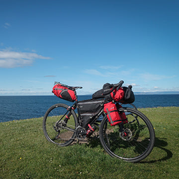
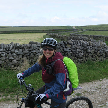
We had time to squeeze in a quick mountain bike ride before dinner around the many small lochs to the East of the bay. Cycling back along a tiny singletrack road, we were overtaken by several loudly revving sports cars and at least 8 massive motorhomes before passing a tiny cottage with a large homemade sign in the windows reading ‘GO HOME NC500 YOU ARE KILLING OUR COMMUNITIES’!
Top Gear has covered the route, and as we discovered, you can hire sports cars from Inverness, especially for taking on this ‘driving challenge’. Large motorhomes are also causing grief to the locals as many are hired with drivers unaccustomed to handling vehicles of that size in those conditions. Travelling in convoy, not pulling in to allow overtaking and being unable to reverse into small passing places, these behemoths are making everyday road travel a nightmare for year-round locals. On top of the damage done to roads simply not made for this volume of traffic, residents dread the increase in litter and even human waste that is the inevitable result of inadequate infrastructure (not enough bins and public toilets to cope with these numbers of visitors).
Sat on our bikes, it felt easy to be scathing, but let’s face it, we would soon be back in our own camper van (albeit a small one) following many of the same road sections. We were having such a good time but the thought of adding to these problems didn’t feel great.

Keen to head off ‘The Route’ again after the Clachtoll crowds, we followed the smaller roads towards The Summer Isles and pitched up at the campsite in Altandhu. It’s a prime sea kayaking location for exploring the multitude of tiny islands that are sprinkled throughout this part of the coastline.
The next day was forecast to be high winds and double drops all day but the worst of it managed to hold off until lunchtime, allowing us the chance to quickly climb the legendary Stac Pollaidh en route to Ullapool. The 600m high peak seems daunting from below but it’s a straightforward path and an easy scramble at the top with unbeatable views.

Getting back to the van minutes before the rain started, we headed to Ullapool for a fish and chips lunch and a re-stock of supplies before continuing to Gairloch, our stop for the night. Whilst there, we had a run out to the Fairy Lochs, a collection of tiny lochans and also the final resting place of an American B-24 bomber plane, which tragically crashed into the rocks on its homeward journey at the end of WW2. The wreckage remains strewn across the hillside and in the lochs making it a somber but fascinating place to visit.
In much-improved weather, we headed for Torridon the following morning with a plan to hike out to Craig Bothy (once Britain’s most remote Youth Hostel) for a night. We brought our tent just in case the bothy was already occupied but it was such a beautiful night, we opted for a tent camp anyway. Down by the shore we made a driftwood fire on the stones of the beach and watched the sun go down as two deer strutted on the cliff tops above us. Magic!


The next day’s drive from Torridon to Applecross (taking the coastal road) is one of the most scenic you could hope for, with views across the water to the islands of Raasay and Rona and the spectacular Cuillin ridge on Skye. The old coffin road
Sonder Bikes


Camino Al Apex1 AXS XPLR
- Sram Apex AXS XPLR 12-speed groupset
- Sonder Alpha I25 Gravel UK Made wheelset
€2.449,00


Camino Al Rival AXS XPLR
- SRAM Rival AXS XPLR 13-speed groupset
- Sonder Alpha I25 Gravel UK Made wheelset
€2.899,00
Camino TI Force AXS XPLR
- SRAM Force XPLR 13-speed groupset
- Sonder Alpha I25 Gravel UK Made wheelset
€4.899,00
Camino TI Rival AXS XPLR
- SRAM Rival AXS XPLR 13-speed groupset
- Sonder Alpha I25 Gravel UK Made wheelset
€4.399,00
-
Flat Bar Best Seller


Camino Al Apex1 Flat Bar
- SRAM Apex 12-speed groupset
- Sonder Alpha I25 Gravel UK Made wheelset
€1.599,00


-
Highest customer rating


Camino Al 105 Di2
- Shimano 105 R7170 Di2 12-speed groupset
- Sonder Alpha I25 Gravel UK Made wheelset
€2.999,00


Camino Al Frame And Fork
Award-winning gravel bike frame
- 6061 aluminium frame
- Gravel geometry
- Carbon monocoque fork
- Huge tyre clearance
€849,00
Your next reads